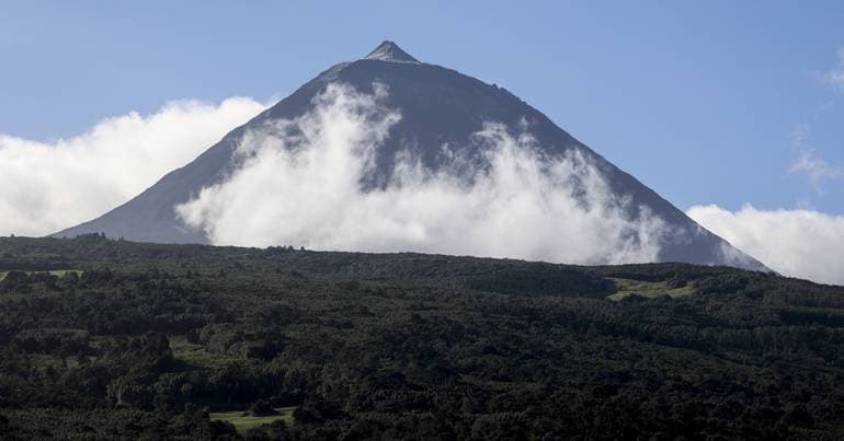
Snow may fall in unusual areas of the Azores on Wednesday
The situation is associated with the low-pressure system Therese, which is expected to cause a significant increase in wind intensity.

Latest news and stories about weather alert in Portugal for expats and residents.
The situation is associated with the low-pressure system Therese, which is expected to cause a significant increase in wind intensity.

The weather in mainland Portugal will be affected between Tuesday and Saturday by storm Therese, with forecasts of occasionally intense rain accompanied by thunderstorms, strong winds, and increased sea agitation, the IPMA indicated this Monday. In a statement, the Portuguese Institute for Sea and Atmosphere (IPMA) notes that storm Therese will...

The Portuguese Institute of the Sea and Atmosphere (Instituto Português do Mar e da Atmosfera or IPMA) warns of a sharp temperature drop in the Azores this Tuesday and Wednesday. A polar air mass could bring snow to areas above 800 meters in the Central and Oriental island groups. Those in the archipelago should be aware that minimum temperatures are expected to fall between 7 and 9 degrees Celsius.

IPMA is the Portuguese Institute of the Sea and Atmosphere (Instituto Português do Mar e da Atmosfera), the national agency for weather, marine forecasts and climate monitoring. Residents should watch its forecasts and warnings during storms, heatwaves or cold snaps because IPMA issues official advisories used by services, transport operators and local authorities.

Level 4, the highest on the scale, 'means 100% of Civil Protection agents' capacity is available', ANEPC emphasises.

At 05:00, the Portuguese Institute for Sea and Atmosphere (IPMA) issued alerts due to the arrival of the low-pressure system named 'Leonardo'.

Ten districts of mainland Portugal will be under an orange warning, the second-highest, from Monday to Wednesday because of rough seas, the Portuguese Institute for the Sea and Atmosphere (IPMA) announced today.
The Sub-Regional Commander for Emergency and Civil Protection of Alentejo Litoral also warned that “the night from Sunday to Monday will be worse”.

Leiria, Coimbra and Santarém are the districts reporting the most damage.

Following post-depression Kristin, the Government has declared a state of calamity for 60 municipalities as Civil Protection warns of an elevated flood risk in the coming days. The measure centralises resources and fast‑tracks emergency funding, placing urgent demands on local services for evacuation planning, infrastructure inspections and continuous minute-by-minute weather monitoring. Authorities urge residents to follow official updates, prepare for possible evacuations and heed flood warnings as forecasts evolve.
Weather update at 17:00: next week is forecast to bring heavy rain across the region.

Civil Protection, the Portuguese Environment Agency and IPMA warn of “rapid flooding in urban areas” in the coming days

Flows are approaching 3,000 cubic metres, a level which, says Civil Protection, 'sets off the alerts' due to rain forecast for the next few days.

A total of 2,264 emergency personnel were involved in the rescue operations, supported by 677 vehicles.

The next few days are unlikely to bring an immediate repeat of Kristin's severity, but they could lay the groundwork for new problems, especially if the low-pressure system forecast for the 8th confirms a more direct track over Portugal.

The meteorological institute has issued red warnings for extremely rough seas — with swells up to 15 metres — for Porto, Braga and Viana do Castelo overnight from Friday into Saturday, while the broader west coast remains on orange. The three districts will be downgraded to an orange warning between 03:00 and 18:00 on Saturday. Authorities warn of significant risk to maritime operations, coastal infrastructure and public safety; residents and mariners are advised to avoid the shore, follow local advisories and expect disruptions to ferry services and port activity.

Ten coastal districts on the mainland are under a red alert today until 21:00 due to rough sea conditions, with waves that may reach up to 14 metres, the Portuguese Institute for the Sea and Atmosphere (IPMA) announced.

Vasco Oliveira provides an update on the incidents in Águeda, where the passage of the low-pressure system Kristin was milder. Over the next few hours calmer conditions are forecast, but the area remains on alert.

Ângela Lourenço, from the Portuguese Institute for the Sea and the Atmosphere (IPMA), warns that heavy and persistent rain will continue in mainland Portugal.

Low-pressure system Kristin is causing strong winds.

Home News Where did Storm Kristin bring the strongest wind gust? Where did Storm Kristin bring the strongest wind gust?

The city of Lisbon recorded, between 21:00 on Monday and 13:00 today, a total of 56 incidents related to adverse weather, mainly fallen trees, the director of the Municipal Civil Protection Service said.

All districts of mainland Portugal are under a yellow warning due to strong winds with gusts up to 80 kilometres per hour, reaching up to 100 km/h in high ground, until 15:00 on Tuesday and again on Wednesday.

Fifteen mainland Portugal districts are under a yellow warning for snow and sea swell until 18:00. Authorities and emergency services are monitoring conditions and advising the public to take precautions against disruption to transport and coastal hazards.

A low-pressure system named Francis is forecast to affect Madeira at around 03:00, prompting an orange weather warning for the early hours. Emergency services have issued alerts advising the public to take precautions against heavy rain, strong winds and possible flooding, with authorities monitoring conditions and readiness for response.
