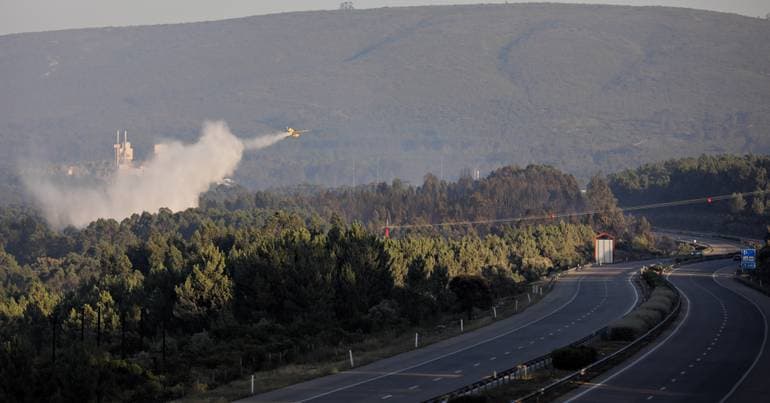
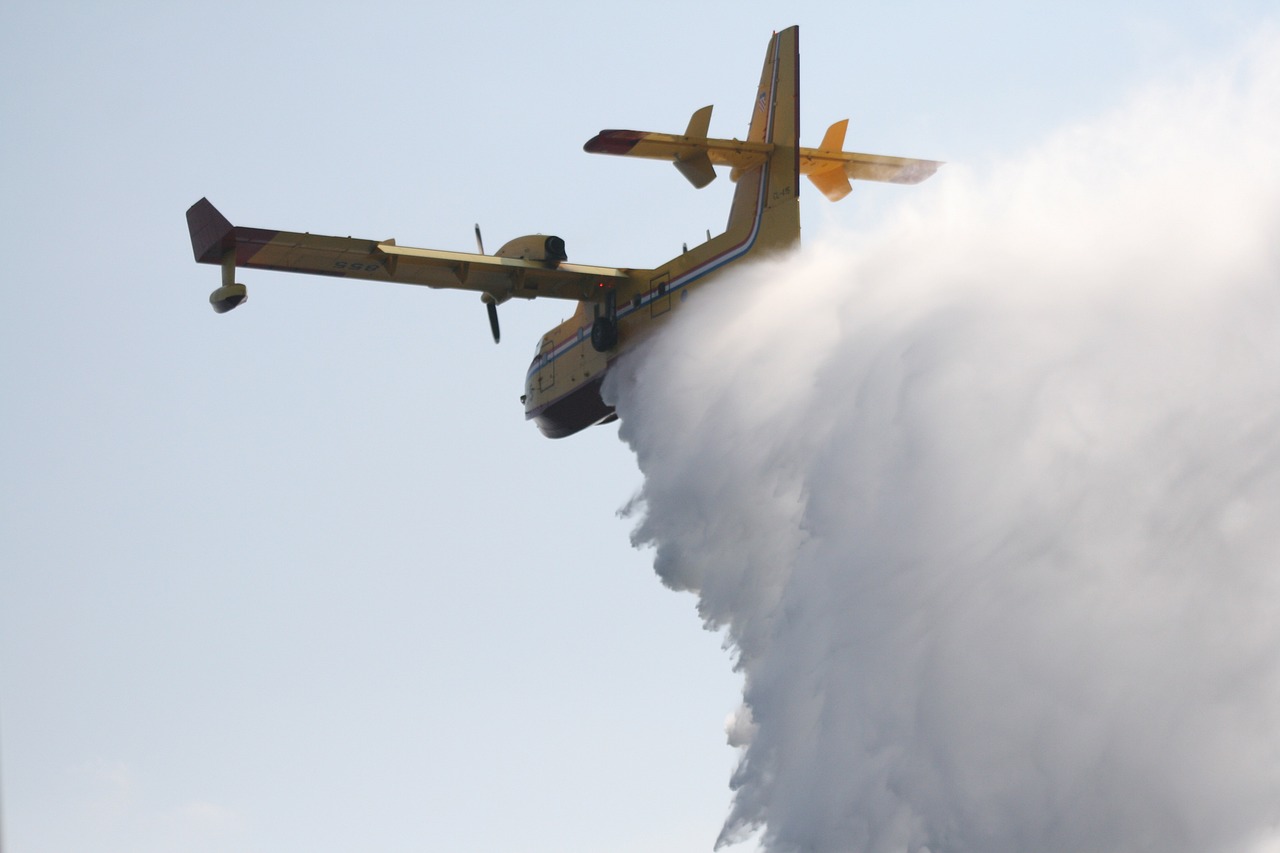
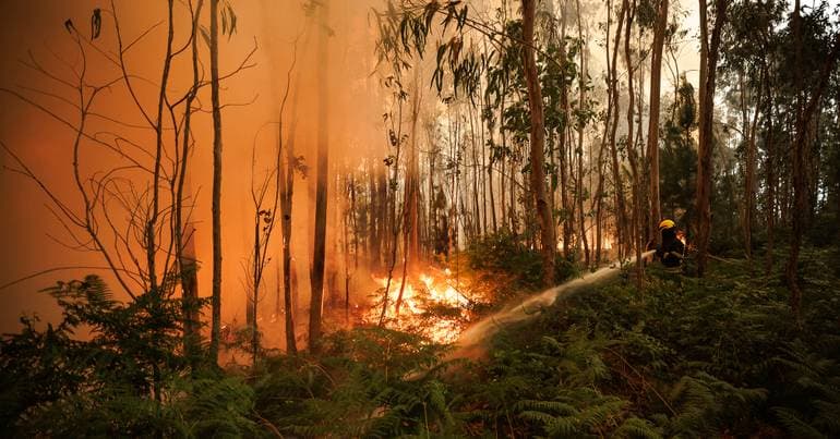
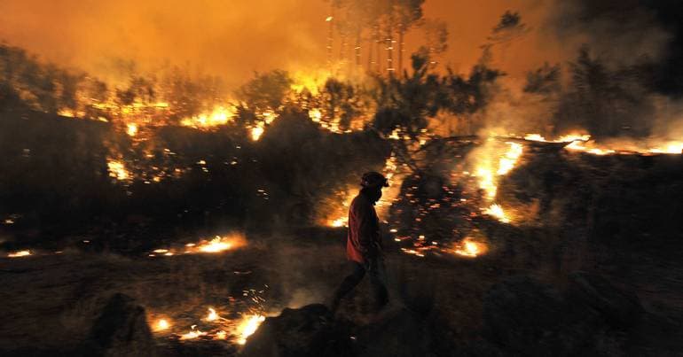
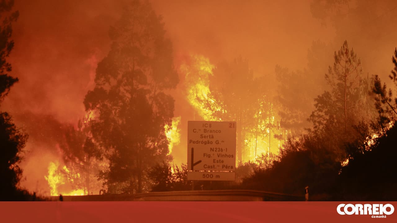
New satellite map predicts wildfire risks for summer
A new satellite-based platform called LandOS – A Minha Terra now allows users to check wildfire susceptibility for land parcels across mainland Portugal. Developed by a Dutch company, the tool uses 10-metre resolution imagery and mathematical models to provide fire risk predictions at the parish level for the upcoming summer season.