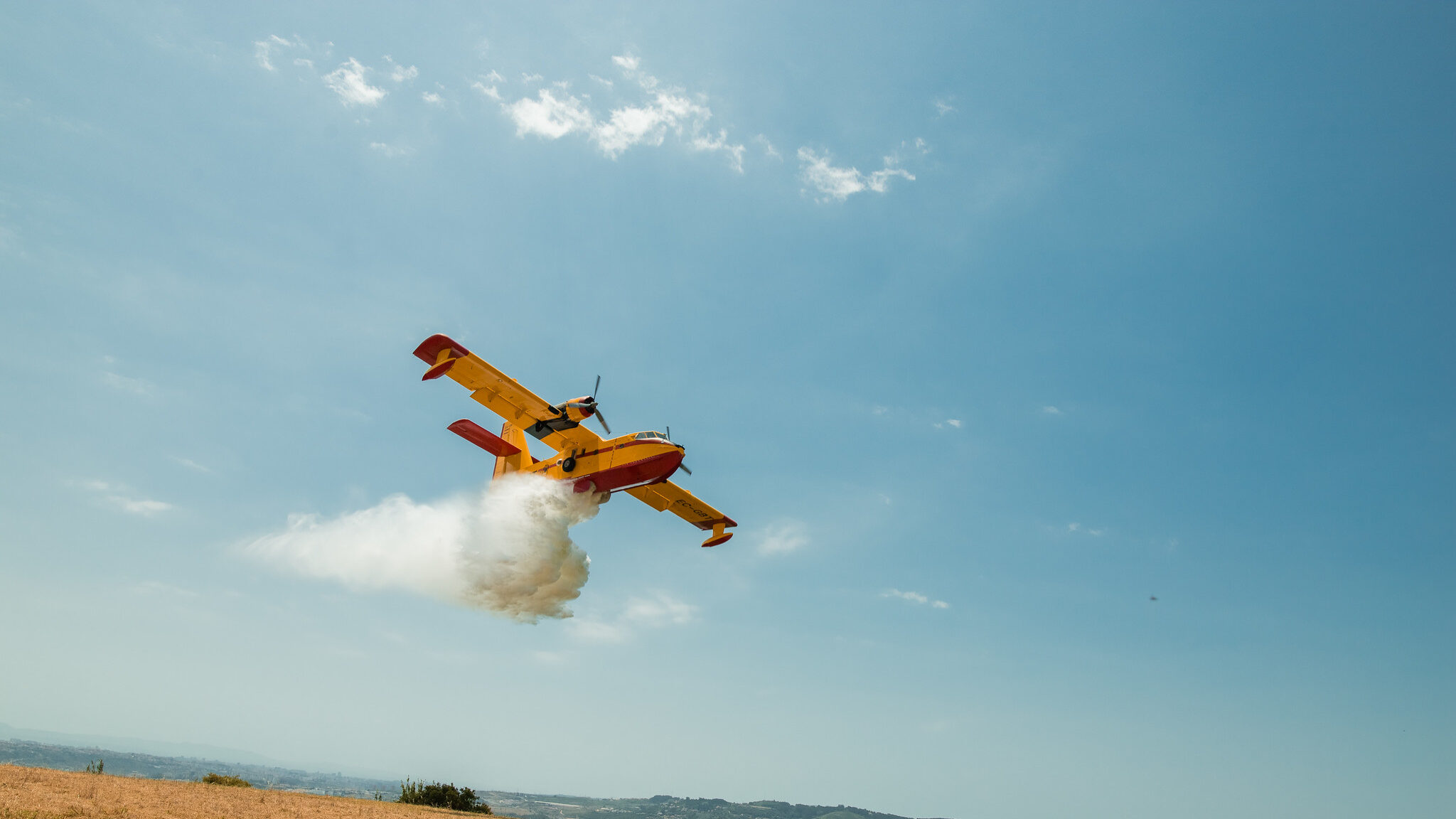
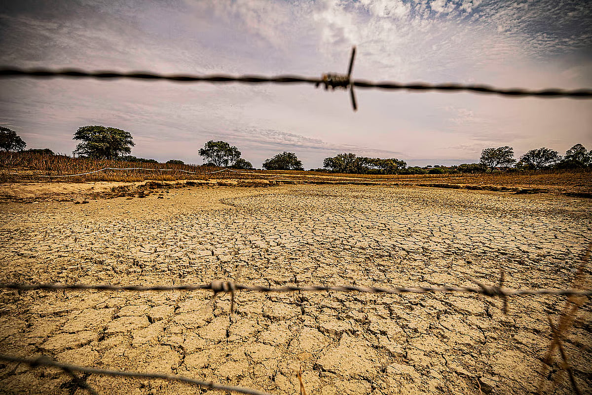
A new satellite-based platform called LandOS – A Minha Terra now allows users to check wildfire susceptibility for land parcels across mainland Portugal. Developed by a Dutch company, the tool uses 10-metre resolution imagery and mathematical models to provide fire risk predictions at the parish level for the upcoming summer season.
New satellite map predicts wildfire risks for summer
Thursday, 4 June 2026AI summary

4 sources
- New satellite map shows areas most susceptible to fire this summercmjornal.pt ·
- New satellite map shows areas most susceptible to fireobservador.pt ·
- New satellite map shows high-risk areas for wildfiresPortugal Resident ·
- There is a new satellite map showing areas most susceptible to burning this summerpublico.pt ·