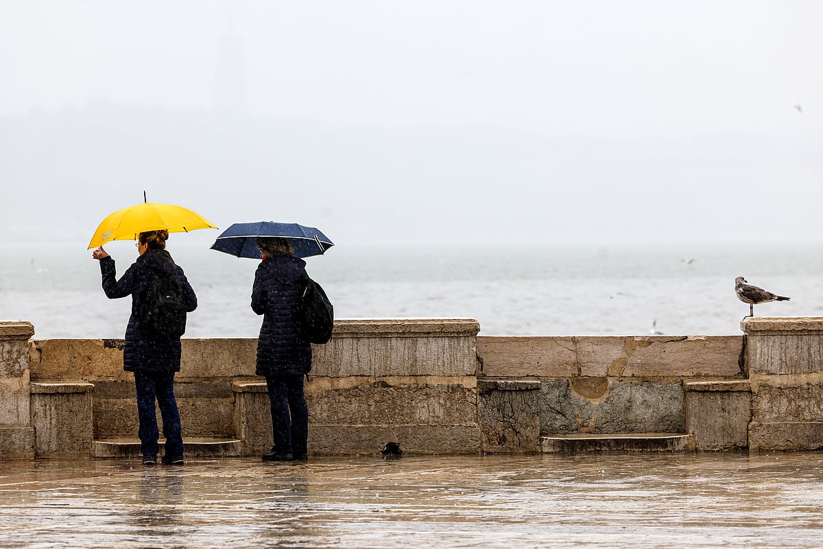
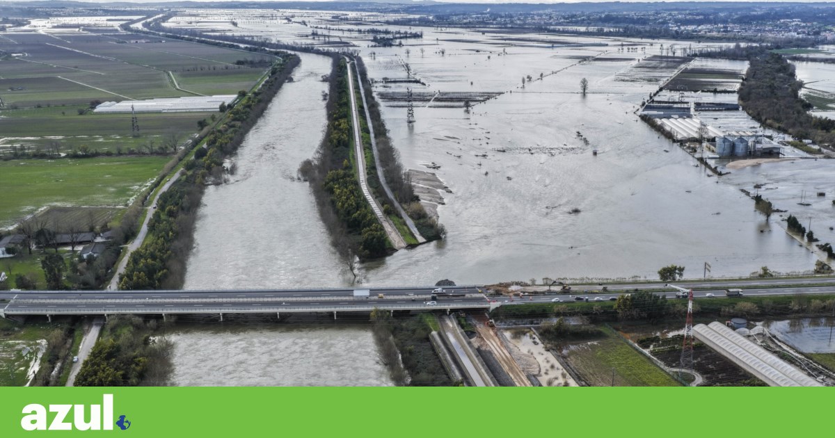
After consecutive weeks of storms, rain is expected to ease this Saturday, with the Portuguese Institute of Sea and Atmosphere (IPMA) forecasting generally partly cloudy skies and temporary increases in cloud cover. This increase may bring light showers in the North and Central coastal regions, with snow expected above 800/1000 meters until early morning. Winds will be weak to moderate (up to 30 km/h) from the north/northwest, becoming moderate to strong (30 to 45 km/h) along the western coast and in highlands, with gusts reaching up to 75 km/h and 90 km/h, respectively, gradually decreasing in intensity from the morning. A slight drop in minimum temperatures is also expected, with Lisbon ranging from 9ºC to 14ºC and Porto from 8ºC to 14ºC. For Sunday, very cloudy skies are anticipated, particularly north of the Montejunto-Estrela mountain range, with light rain expected in the North and Central regions, especially in Minho and Douro Litoral from the afternoon. Similar weather is forecast for the start of next week, with rain periods in the North and Central regions on Monday and light showers on Tuesday. The aftermath of recent storms has resulted in 16 deaths, hundreds of injuries, and significant material damage, prompting the government to extend the state of calamity until Sunday for 68 municipalities and announce support measures of up to 2.5 billion euros.
Rain will not disappear, but it will lose strength and give some respite over the weekend
Friday, 13 February 2026RSS