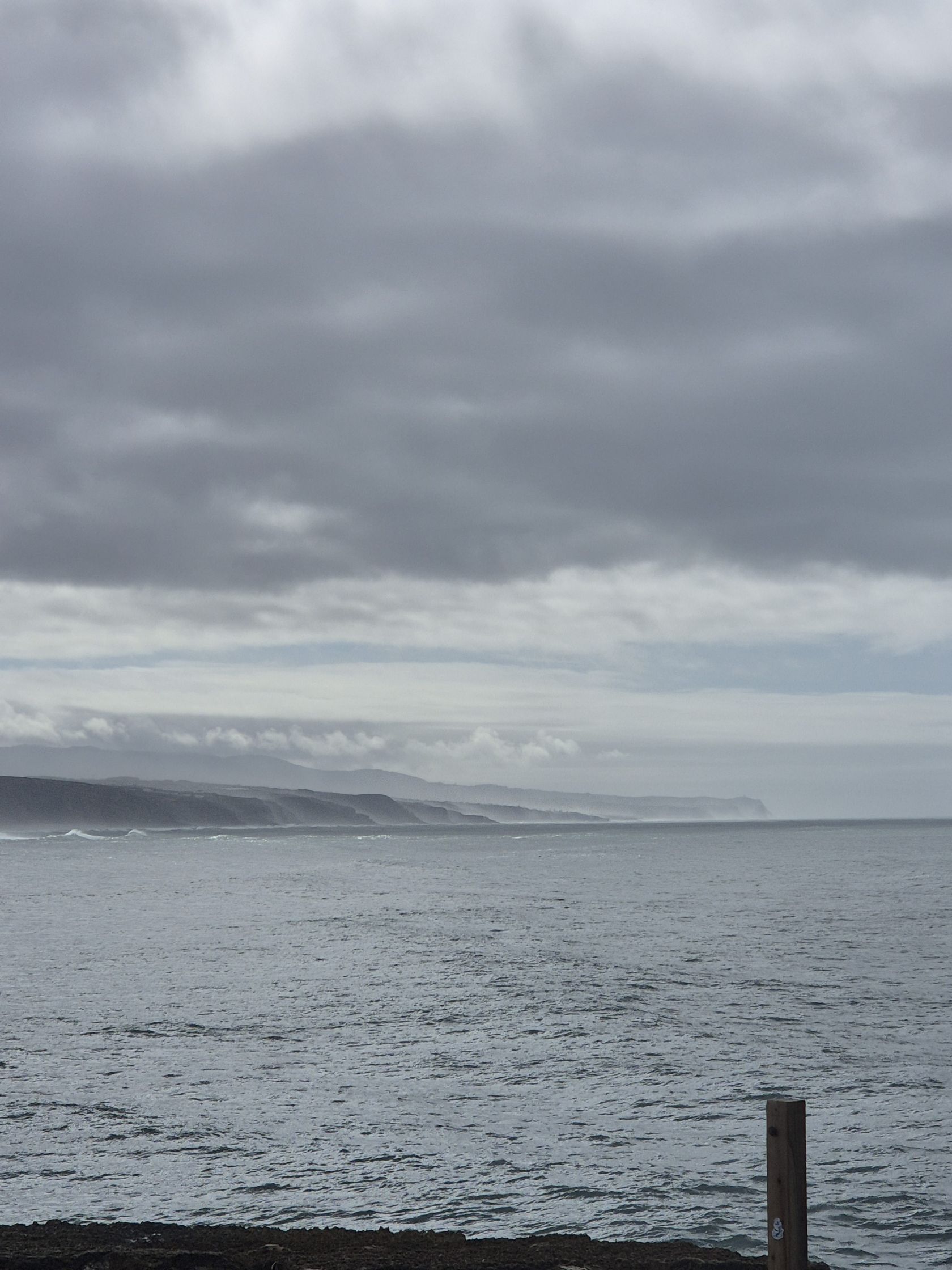
Another depression arrives in Portugal: Western Group of the Azores on red warning due to rough seas
IPMA says that 'the influence of this depression, Leonardo, should begin to be felt from Wednesday.'

Latest news and stories about rough seas in environment in Portugal for expats and residents.
This page has only 2 stories and is not indexed by search engines.
IPMA says that 'the influence of this depression, Leonardo, should begin to be felt from Wednesday.'

Warnings are in force from this Monday to Tuesday.

The entire Portuguese coast and seven mainland districts are under an orange warning today and on Tuesday due to rough seas and snowfall, the Portuguese Institute for the Sea and Atmosphere (IPMA) said.

Home News Seven districts under orange alert Seven districts under orange alert The entire Portuguese coast and seven mainland districts are under orange alert today and Tuesday due to rough seas and snowfall, according to the Portuguese Institute of the Sea and the Atmosphere ( IPMA).

Several districts of mainland Portugal remain on Saturday and Monday with various warnings due to rough sea conditions, rain, strong winds and snowfall, the Portuguese Institute for the Sea and Atmosphere (IPMA) said. The districts of Porto, Viana do Castelo and Braga are under a red warning until 06:00 today due to swells — ...

The Portuguese Institute for the Sea and the Atmosphere (IPMA) has issued a red warning because of significant maritime agitation and dangerous sea conditions.

The influence of the low-pressure system 'Joseph' will persist over the coming days.

IPMA raised the warning to red for the Western and Central groups of the Azores due to rough sea conditions, with waves that may reach 10 metres. In São Miguel and Santa Maria the alert was raised to orange.

The northern coast of the island and Porto Santo are under an orange warning until Tuesday. Waves could reach up to 12 metres.

These are some of the effects of the passage of Storm Ingrid across mainland Portugal.

Waves of seven to nine metres in height, potentially reaching a maximum of 15 metres, are among the effects of Storm Ingrid's passage over mainland Portugal.

Authorities have placed the entire coastline on red alert because of intense wave activity and dangerous sea conditions, warning coastal communities, shipping and beachgoers to take precautions.

Weather conditions and rough seas will worsen due to the low-pressure system 'Ingrid'.

Depression Ingrid will reach Portugal from Thursday afternoon, bringing heavy rain, snow at higher elevations and extremely rough seas with waves up to 15 metres. IPMA has issued a red warning for the entire coastline for dangerous coastal conditions and a yellow warning for heavy rain at times; authorities and emergency services are urging the public to avoid coastal areas and follow safety guidance. Impacts may include flooding, coastal damage and transport disruption.

Home News Snow may return to the Algarve Snow may return to the Algarve The effects of Storm Ingrid passing through mainland Portugal will begin to be felt from this afternoon, and several warnings have been issued for rain, wind, snow and rough seas, according to IPMA.

Showers may include hail and be accompanied by thunder.

IPMA forecasts for this Monday on the mainland periods of very cloudy skies, with the southern region becoming mostly clear and a possibility of light, scattered precipitation in the north and centre.

Ten mainland Portuguese districts — Porto, Faro, Setúbal, Viana do Castelo, Lisbon, Leiria, Beja, Aveiro, Coimbra and Braga — are under a yellow warning for rough seas from 12:00 on Tuesday until 09:00 on Wednesday. IPMA forecasts waves of up to 5 metres and mainland conditions of very cloudy skies (becoming mostly clear in the south) with isolated light precipitation in the north and centre. The alert signals increased marine risk and warrants caution for coastal activities and maritime operations.

The north coast of the island of Madeira and Porto Santo are under an orange warning for rough sea conditions, with waves forecast at 5 to 5.5 metres, the Portuguese Institute for Sea and Atmosphere (IPMA) said today.

Porto, Viana do Castelo, Lisbon, Leiria, Aveiro, Coimbra and Braga are the affected districts

Madeira is expected to see waves of up to 5 metres on the north coast and 4.5 metres on the south coast. Authorities ask people to avoid coastal walks and recreational fishing, and to keep boats under observation.

At 3am the Portuguese Institute for the Sea and Atmosphere (IPMA) placed 15 districts under a yellow warning due to expected snowfall and rough seas.

The island is expected to register waves of up to four metres on the north coast and three metres on the south coast. Authorities warn: avoid walks close to the sea, refrain from recreational fishing and keep vessels monitored.

On the islands of Corvo and Flores, an orange warning due to rough seas will remain in force until Monday morning.
